The Hike... or that time I walked over a Mountain
Beginning
When I was little our family vacations more often than not were to Gatlinburg, TN and
the Great Smokey Mountains National Park. If you read enough stories about the people who used to live in the mountains down there you'll hear about how they used to carry goods, belongings, and livestock over the mountains and into town in a one day trip which wasn't considered that big of a deal. This had always interested my Dad who in the last couple of years decided he wanted to hike over the mountains one day himself.
Well with me not currently employed and back home, and him admitting he was getting older this seemed to be the perfect summer to make it happen. So my Dad planned a route, and I did some practice walking around here. A couple weeks later we were in Gatlinburg getting ready for our mountain hiking challenge.
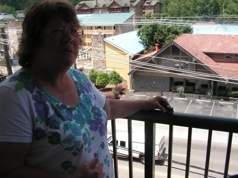
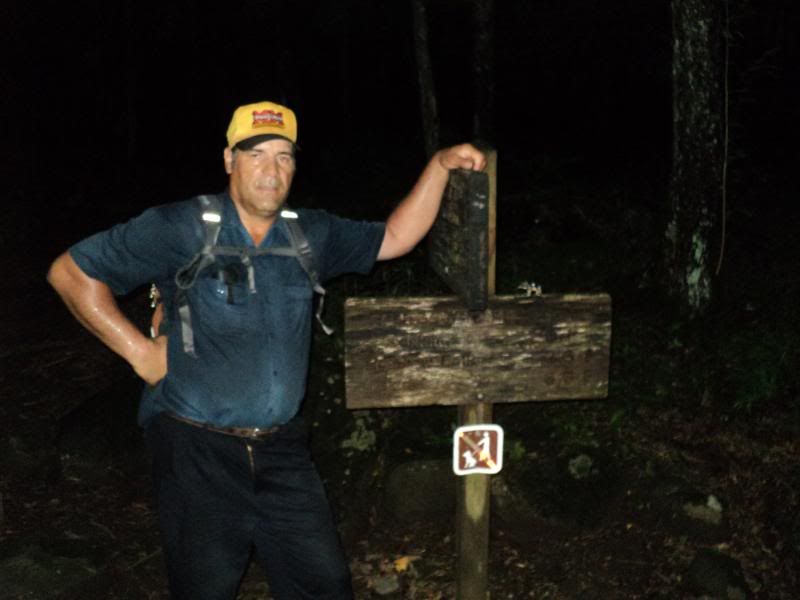
Mom and Howie at the Hotel
We woke up the morning of the hike at 5:30 and saw the weather report... 80% chance of rain, but we decided if we waited for the perfect weather then, we might not ever get it done. So we loaded up our backpacks and got in the jeep with Casey and Mom and headed for Smokemont Campgrounds in North Carolina.
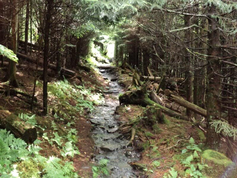
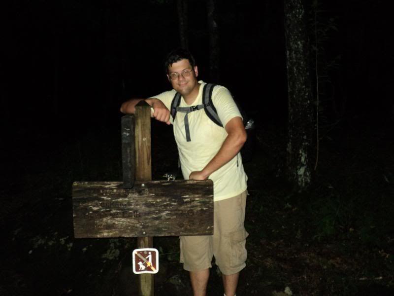
Smokemont loop - 1.4 miles
On the way over to Smokemont I tried to get a little extra sleep on what was an uneventful ride. We got to the Smokemont Loop trailhead, grabbed our backpacks and said farewell to Mom and Casey. The plan was for them to pick us up at the Sugarlands visitor center right outside of Gatlinburg in 12-13 hours or so. We snapped a few photos and were on our way.
The Smokemont loop is a horse trail and actually loops back around to the point where we started, as an easy day hike for people at the campground. It's a gravel trail and the only bad part about this section of the trail was the bugs, there were flies but you get that on horse trails. Also it started to rain, but hey that’s nothing against the trail, so we pulled out our rain ponchos and continued on.
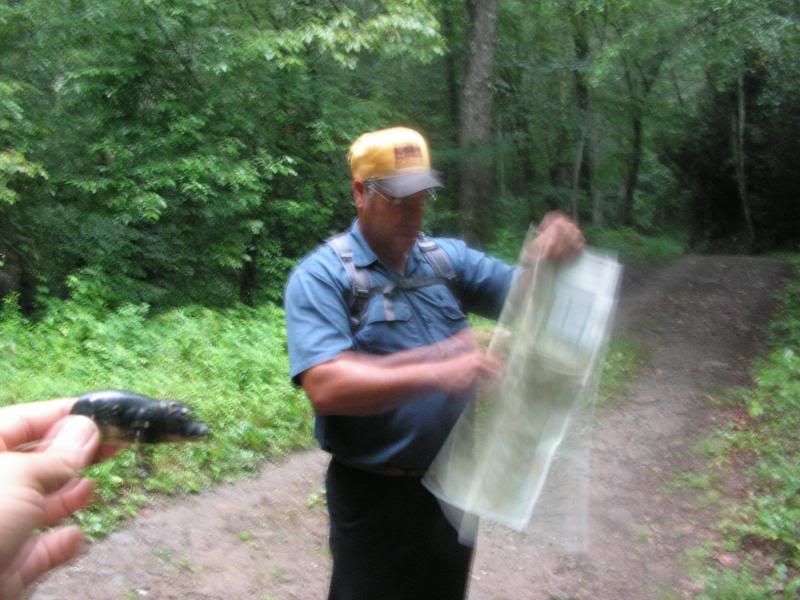
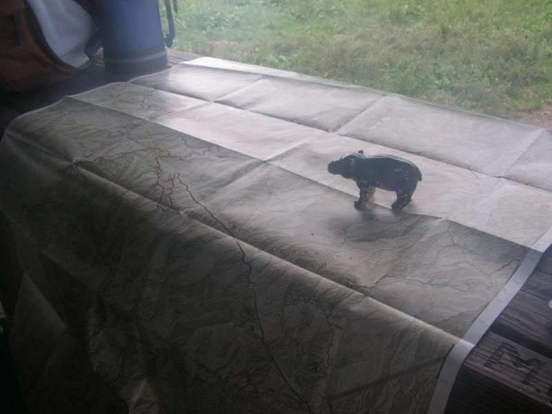
 Checking the map
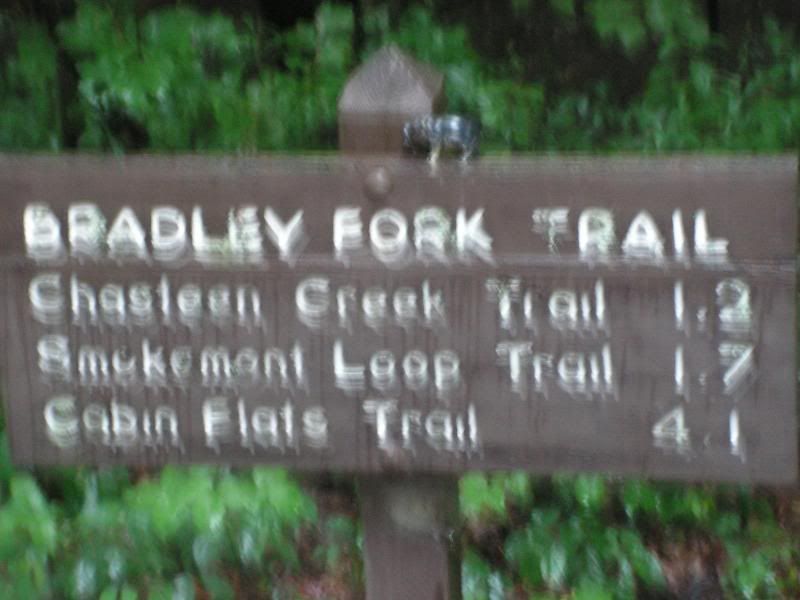
 Bradley Fork - 2.6 miles
Finding this trail was a little strange, because honestly we didn't see where the loop continued so we had to pull out our map for a moment to make sure we were going the right way. As missing this first turn and continuing the loop would have messed up our time and forced us to abort the mission. However, we were in the right spot, and didn't want to loop around so we took a moment to eat something real quick as breakfast and head down the trail, still in the rain.
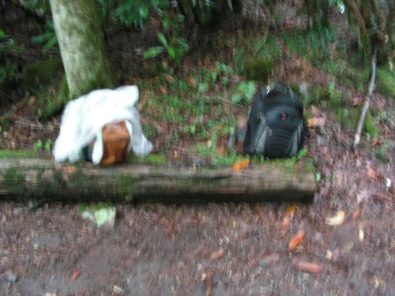
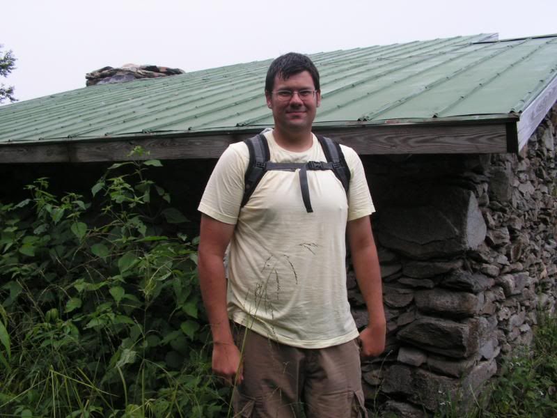
Our Gear
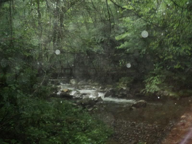
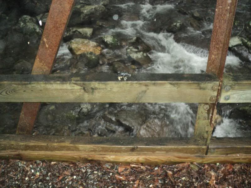
This trail was again an easy trail to walk, though it was a slight uphill incline still, as well as being a horse trail so we still had the bugs to deal with as well as the rain. Near the end of the trail their was a cool bridge, we guessed it was a small gauge railroad bridge, from one of the logging companies who operated in the area pre-National Park
Bradley Fork Bridge
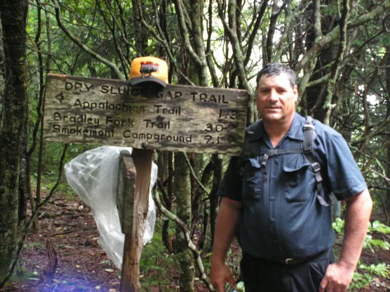
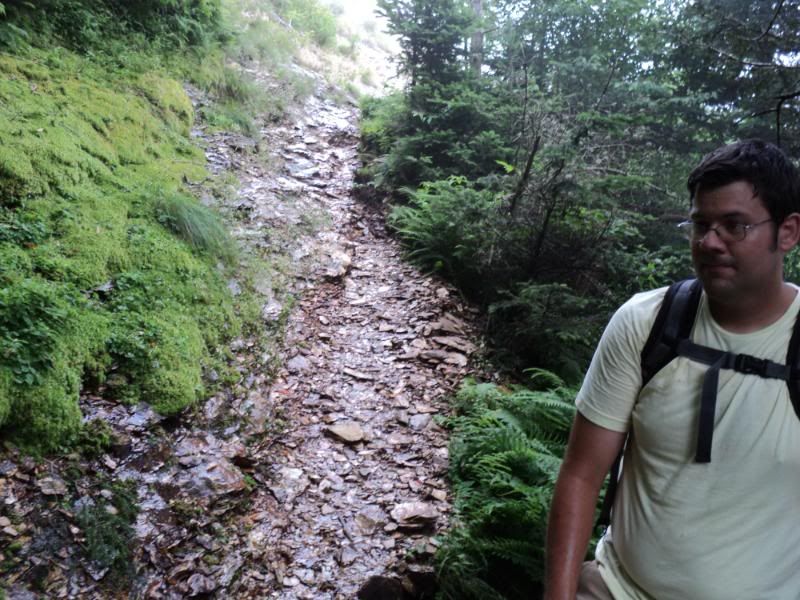
 Dry Sluice Gap Trail - 4.2 miles
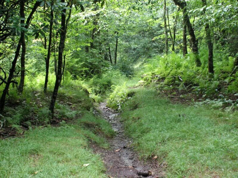
This is where the real uphill battle was. This trail is listed as a horse trail, but it hasn't been walked by very many horses if any recently. It is very narrow and often times the trail was sunk into the ground by as much as a foot, making it like walking in a rut. With all the rain that was still coming, this is where our feet quickly got wet. This trail used to be a common path that settlers took way back when, however since you have to travel at least 4 miles to get to it now days, it doesn't get a lot of use.
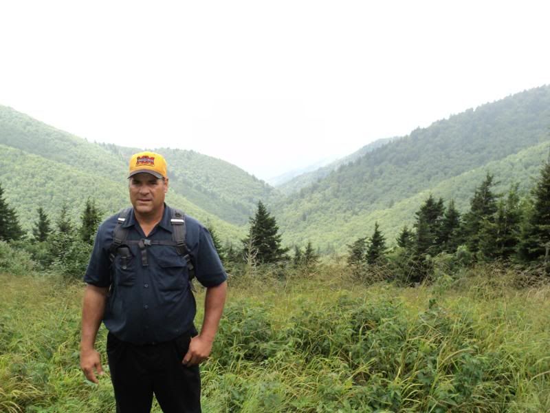
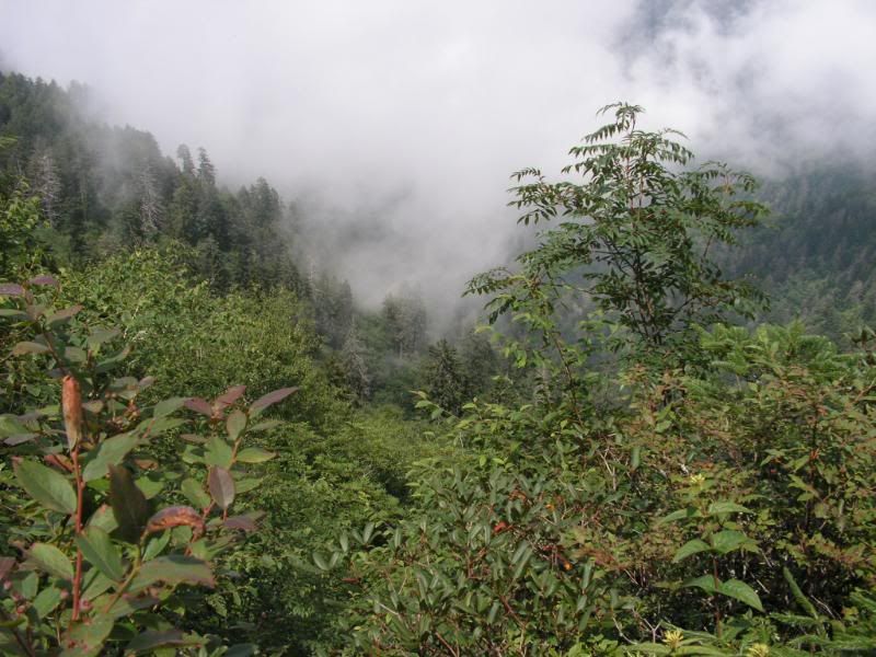
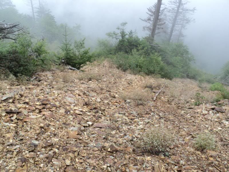
Some of the valleys on this trail were supposed to have virgin forest (areas never logged) and we did see a few really large trees. But our eyes were mostly on the trail in what was an uphill battle. We would look up at the top of the hillside we were walking along getting closer and closer to the top only then to turn a bend and find ourselves walking up an even higher up section of the ridge. It seemed to last forever, this climbing only to find we had still higher to go. 3 miles into this trail there was a signpost where we stopped to get a breather (we had done this multiple times on the trail as well) and take some pictures. The last mile or so wasn't as steep as the previous climb and was where we got our first good views of the other mountains as we were talking the ridge of the Richland Mountain Range. It also stopped raining towards the end of this section of trail which was very nice.
Top of the Dry Sluce Trail
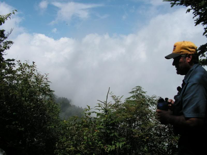
 Near Charles Bunion - Observation Point
 Dad at Dry Sluce - you can see we had gotten a little wet
 The Trail was narrow... this was a good section
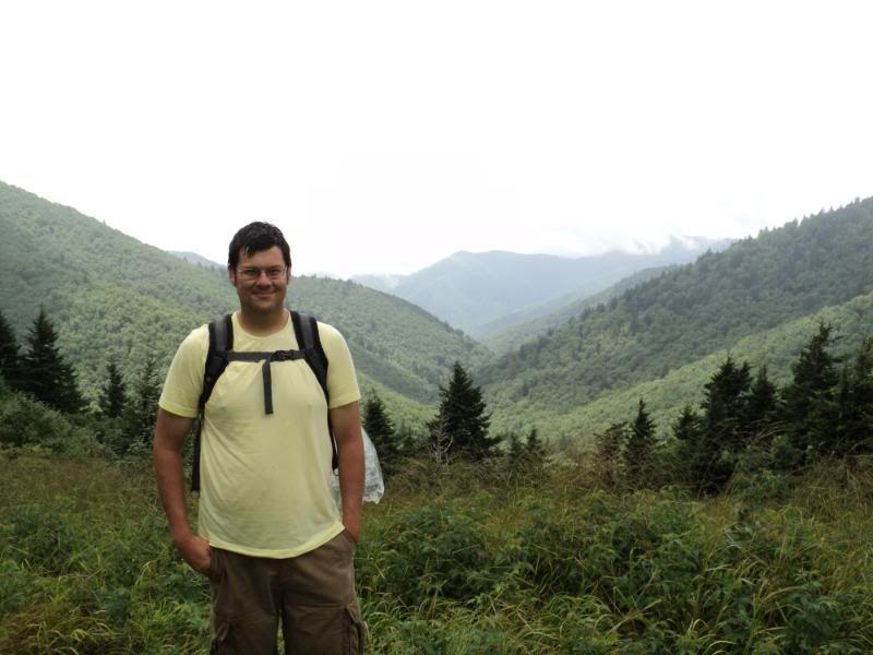
 Appalachian Trail - 1.7 miles
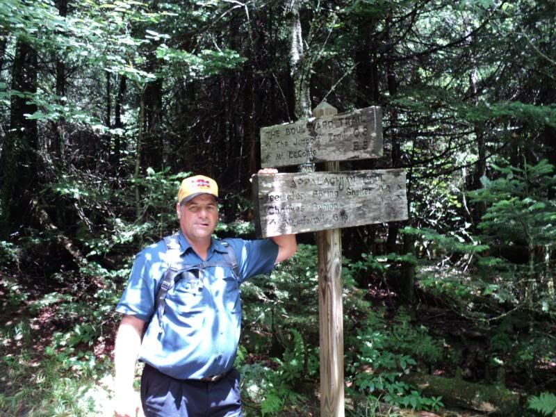
At the end of the Dry Sluice Gap trail we met up with the famous Appalachian Trail for a little while on our way to the IceWater Springs Shelter. This trail we could tell was more well used than the Dry Sluice Gap, but it was still pretty rugged. Our time on the Appalachian Trail was fairly easy as we were starting to leave the Richland Mountain Range moving more Westward towards our Destination Mount LeConte. The trail was very pretty and this was the first place we saw anyone else on out hike (we ended up seeing 22 people total).
Dad and Me on the Appalchian Trail
One interesting thing was that we noticed trees every so often along this trail were marked with white paint spots, though we never found out what they meant, we are guessing they serve as some sort of mileage marker for hikers along the trail.
Sign Post
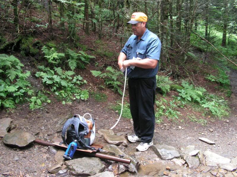
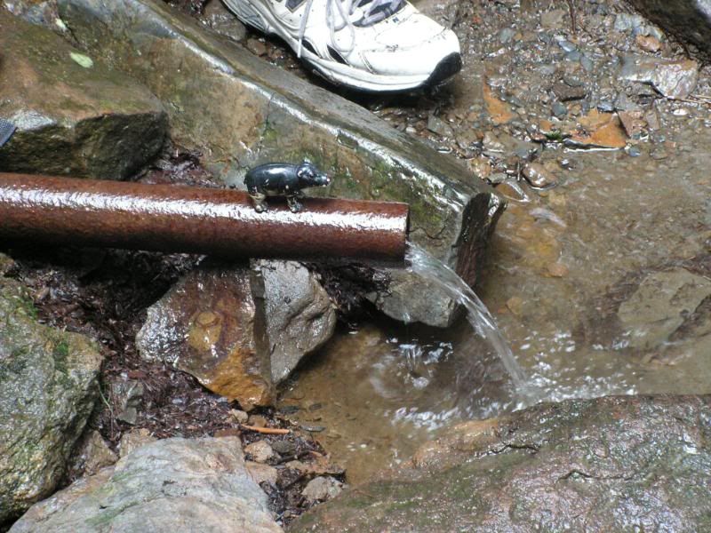
Near the end of our section on this trail is the IceWater Spring, which just starts as this pipe sticking out of the side of the mountain. We refilled our empty water bottles for the first time here; testing out the filter pump my Dad had bought and took a few pictures. This is also where I unfortunately broke the view screen of my video camera. (Yes we have a little bit of video footage of the trip )
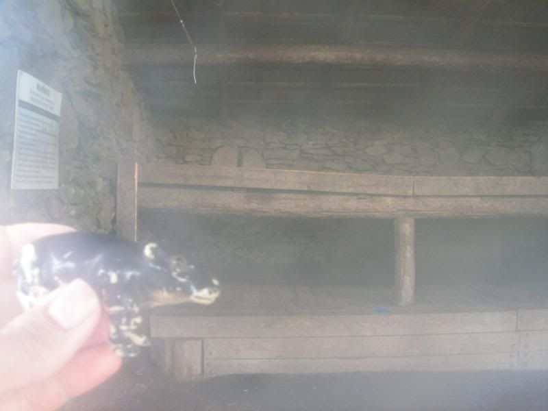
We stopped in at the IceWater Springs Shelter, which is a nice building up there that sleeps twelve people (you can sign up to stay there for free). We read the log book (which was cool and had been signed by people who spent the night in the shelter), took a few quick pictures and ate our lunch here. It was already 1:30 p.m. and we knew we were behind schedule, but figured we might be able to make up the time on the way down. We met a couple from Colorado and had a quick talk with them while we ate.
Refilling our Water for the first time at Ice Water Spring
 Ice Water Springs Shelter House
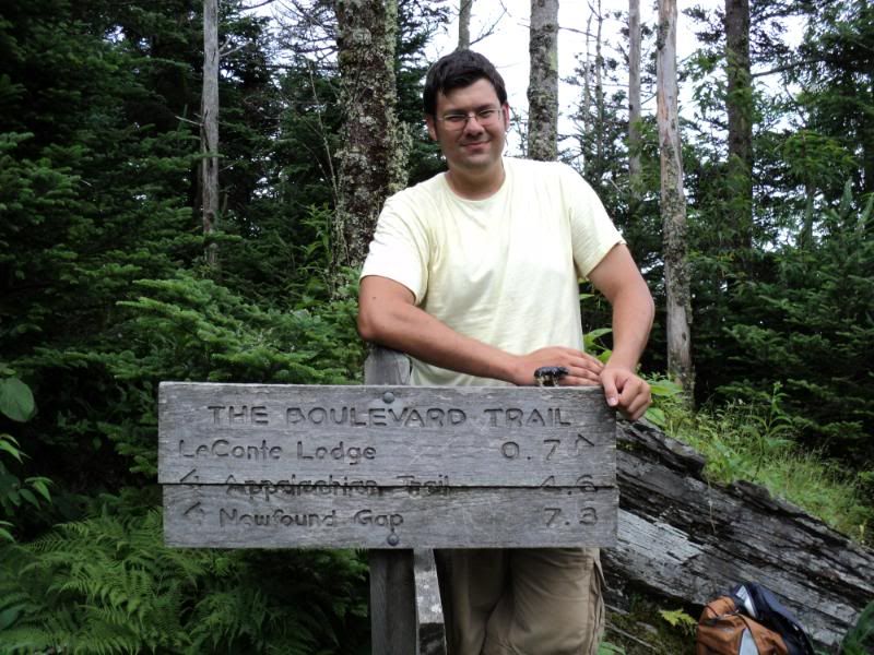
 Boulevard Trail - 5.4 miles
We had a small piece of trail to walk from the shelter before we hit this trailhead, but we quickly found our way there and began this section after a few quick pictures. This would be our last major uphill battle serving as our final ascent to Mount LeConte. This hike started as a series of up and downs as we were walking the ridge of a mountain range. It is really cool to be looking out to your left and right and seeing that both sides drop off so steeply.
 Looking Straight Down
However, when you are in the mountains and have already walked as much as we had 5.4 miles seems like an eternity when there are no other sign post to tell you how far you had gone . Everytime we got to the top of a little ridge we would think, I wonder if this is Mount LeConte... only to see another taller peak just around a bend or on the other side of a valley. Then your heart would sink a bit, but you'd suck it up and continue on. This section of trail is where my Dad started to doubt his ability to finish our trek, but he kept pressing on.
Wet Trails.... kind of hard to see in the picture, but the whole trail has running water on it.
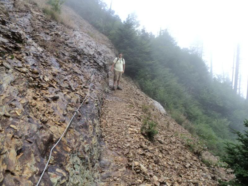
The coolest part of this trail was where this rock-slide had happened, and the path was perilous enough that they installed a cable handrail into the side of the mountain. We took a picture of this.
 Rock Slide Area
 Looking down the Rock Slide
Near the top of this trail there was another sign post saying .7 miles to the shelter and we took another short break, having passed the last difficult climb of the trek Dad was seriously debating if he had the juice to make it the rest of the way and announced that we might be spending the night at the Mount LeConte Shelter or Lodge based on what time it was when we got there.
Almost at the Top!
 On Ward to Mount LeConte
Along the last part of the path was this strange looking pile of rocks, sort of resembling what a stone chimney would look like only you can tell it was never a chimney this is the high point of Mount LeConte. Mount LeConte is the 3rd highest point in the Great Smokey National Park and people had placed those stones there in an attempt to make it the parks highest point. (The top of the Mountain is only 50 feet shy of the highest point Clingmans Dome) However, they still have a ways to go to reach their goal.
Mount LeConte Shelter
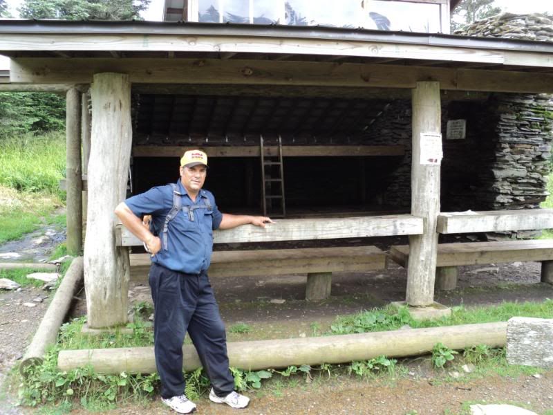
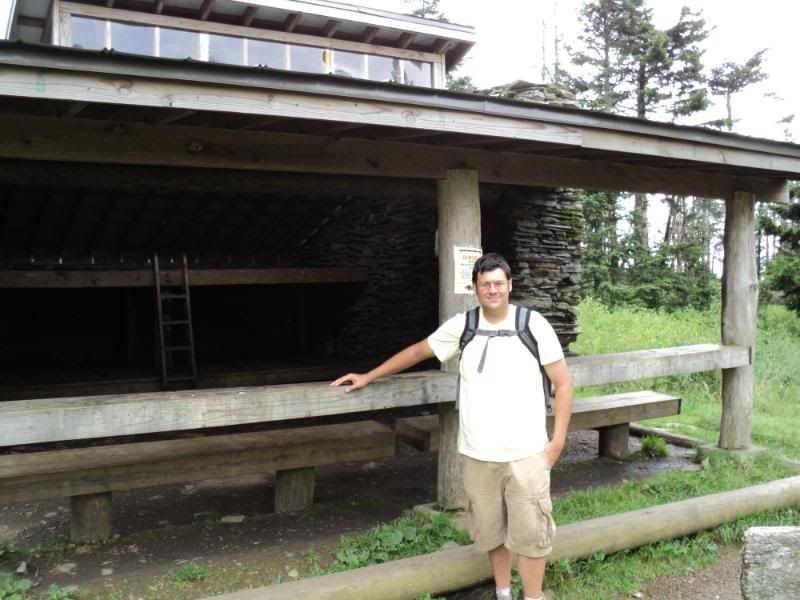
From here on it'd be all downhill, we stopped and took a few pictures of the Mount LeConte Shelter and upon checking the time (my cell phone) found it was only 5 p.m. Dad said he thought he could make it so we decided to go for it. This was the last point we could have stayed really. I really wanted to make it over in one day so I was all for this choice, but in hindsight... staying wouldn't have been that bad.
In fact in addition to the shelter they have a little lodge up there with several small cabins for people to camp in. You have to have reservations and pay for these cabins but you get a meal and it would probably be fun to stay in one someday.
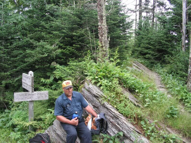
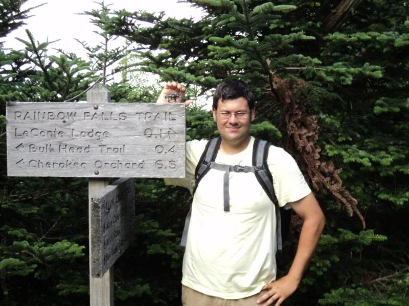
Bull Head Trail - .5 miles
After passing the lodge, we took a part of this trail to Rainbow Falls Trail. This trail would have also taken us close to where we ended up, but at this point we were getting tired and had the hope that if we reached an area of the park called Roaring Forks we could get phone signal and have my Mom come pick us up, where this wouldn't have been possible on the Bull Head Trail. The only other real thing to say about this section of trail was that it was very wet and you could tell it had water on it almost all the time. In fact probably 1/3 of the trails we walked were simply where the water ran... so our feet were wet pretty much the entire way.
Rainbow Falls - 6.0 miles
You could call this section... the decent... as we were headed down down down. We filled up our water bottles again on this trail as there was a lot of water running across at different points leading to Rainbow falls. This section of trail was also pretty rocky and took a beating on our feet and knees.
Rainbow Falls Trail
Honestly we were very tired at this point and trying to beat the sun from setting. I remember thinking that this trail was a lot longer than six miles (you do that a lot in the mountains). 3.4 miles into the hike we finally got to Rainbow falls, but being tired we just took a few pictures, and knew we must press on as the sun was setting fast. We also didn't want to rest for fear of how bad our bodies would feel if we didn't keep them moving.
Falls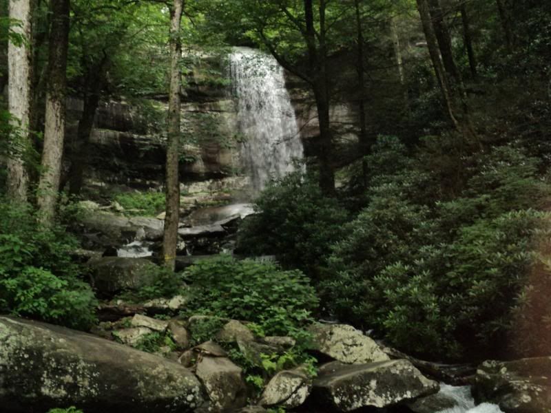
The last 2.6 miles of this trail were the best time we made all day, clearing it in a little under an hour. (When planning the trip we figured we'd average 2 miles an hour, but yeah... you can't simulate mountains in central Indiana) Pretty much is was a blur, power walking when we got a clear path and not stopping to look around at all. However we did make it to the bottom just as the sun was setting and found ourselves at a small parking lot with a bathroom hoping to refill our water and call for a pick up.
However, their was no sink in the bathroom and no signal for my phone... We were needless to say very disappointed, though we had always planned on walking one last section of trail, this was only our early extraction point, so we sucked it up and got our bodies moving again.
(Actually in the video at this point, I have footage of us sitting down worn out, and I note that the camera is shaking, because I'm so tired that my whole body is shaking and I can't make it stop)
We are pretty worn out...
 Old Sugarlands Trail - 3.9 miles
This was once again a horse trail and for the first part that we walked very wide and nice. (it was still nice later, just more narrow and not gravel covered). You could tell this trail was very well used which makes since because the Sugarlands is the main visitors center and has two horse stables near it. Had we taken Bull Head Trail we would have come out half a mile down this trail from where we started.
We walked the first mile and a half I'd guess on this trail with only the moonlight guiding us, before it started to get a little rocky and we had to pull out our flashlight. This made for very slow walking, but we were already tired and not moving that fast to begin with. being tired we stopped and looked at all the sign post to make sure we were going the right way, since it would have been horrible to mess this up as late as it was.
We only had one real debate on which way we needed to go, and we never did get turned around. But I'd advise anyone wanting to hike not to be doing it by flashlight at 10 pm in the Smokey Mountains after you'd already cleared 20 miles that day.
We did have to make one stop to refill our water bottles as we were both really thirsty and found a small water source along the trail. Finally we made it to the end of the trail which dumps out near the visitors center. I checked my cell phone and found still no signal so we had only one choice... follow the road into Gatlinburg.
(no pictures since we were walking by flashlight)
Gatlinburg road - 1.0 miles
Ok actually we had two choices.. There is a trail that goes from the visitors center to Gatlinburg, we walked it once a few years ago, but with only a flashlight and not exactly sure where it started... we decided to take the easier way and just follow the road. Honestly we walked past the visitors center on our way back and didn't even know it (it was closed so all the lights were off), so there is no way we would have found that trail easily. To make matters worse it started raining again. Most of our conversation on this part of the walk was just us mumbling about stuff.. but we were too tired to really pay attention to each other.
We finally got cell phone reception about .25 miles before we got into town... at the point where we could see our hotel.
End 26.7 miles total
We found our way to our hotel room door at a little after 11 pm that night, Mom had figured we were settled in under our emergency blankets somewhere on the mountain side. We sat down on the balcony and ate some leftovers... Very tired, very sore, but very glad we had accomplished our goal.


